A 130 km journey through rock walls, olive trees and rural villages
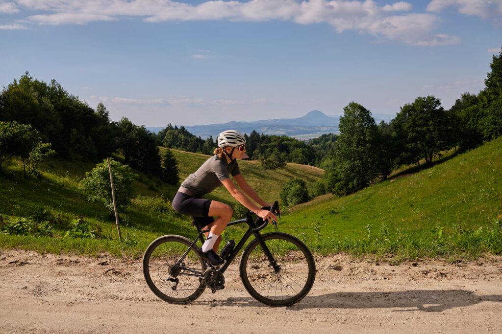
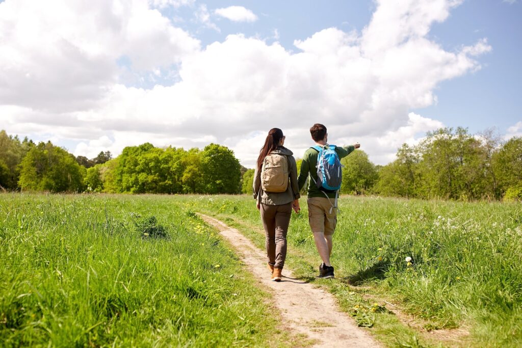
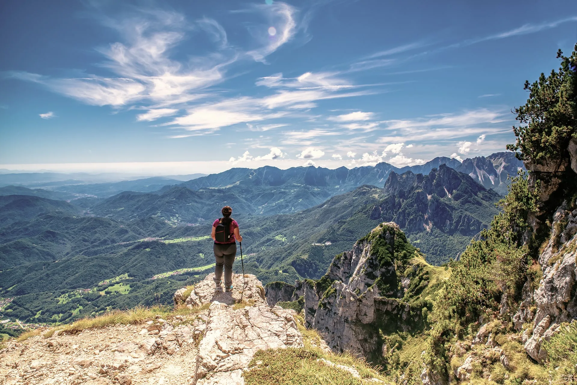
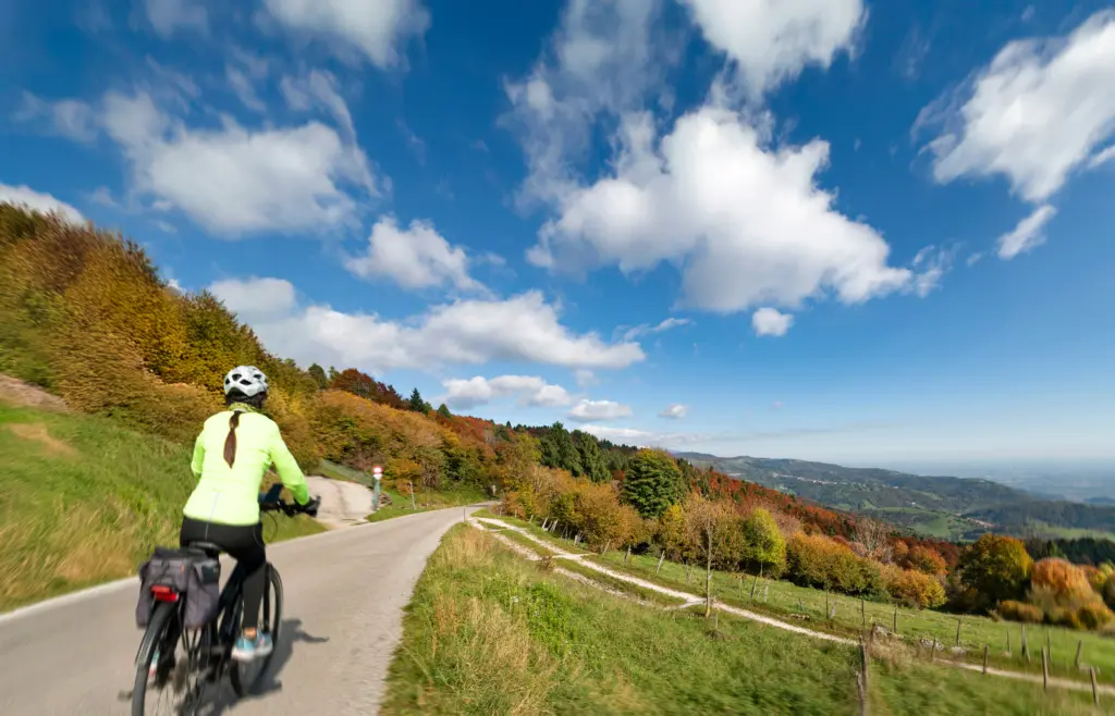
The Alta Via dei Monti Berici is a 130-kilometre hilly loop, running mostly at altitude along municipal and local roads. The route touches 15 municipalities south of Vicenza and is designed counter-clockwise to encourage safe sharing between hikers and mountain bikers.
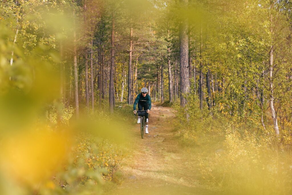
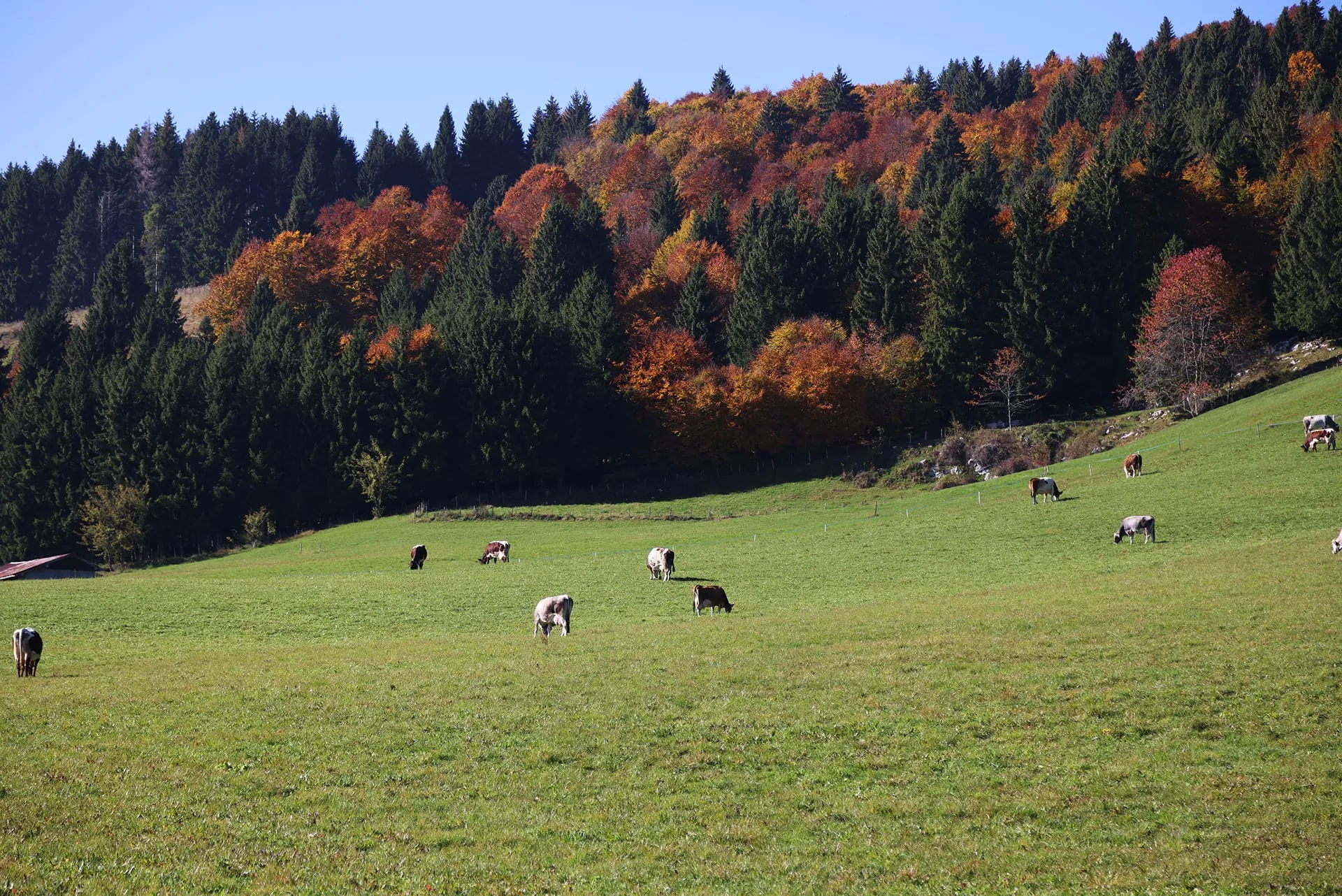
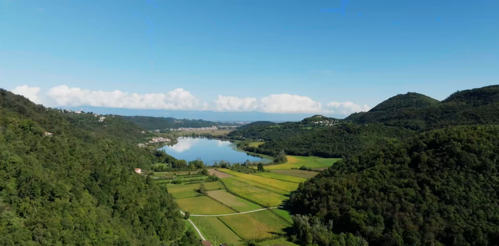
The landscape offers a unique mix of natural and ethnographic features. Along the loop you encounter wooded valleys, wide meadows, vineyards and lush olive groves. One highlight is ancient Lake Fimon, framed by rock walls and evocative caves.
Culture at High Altitude
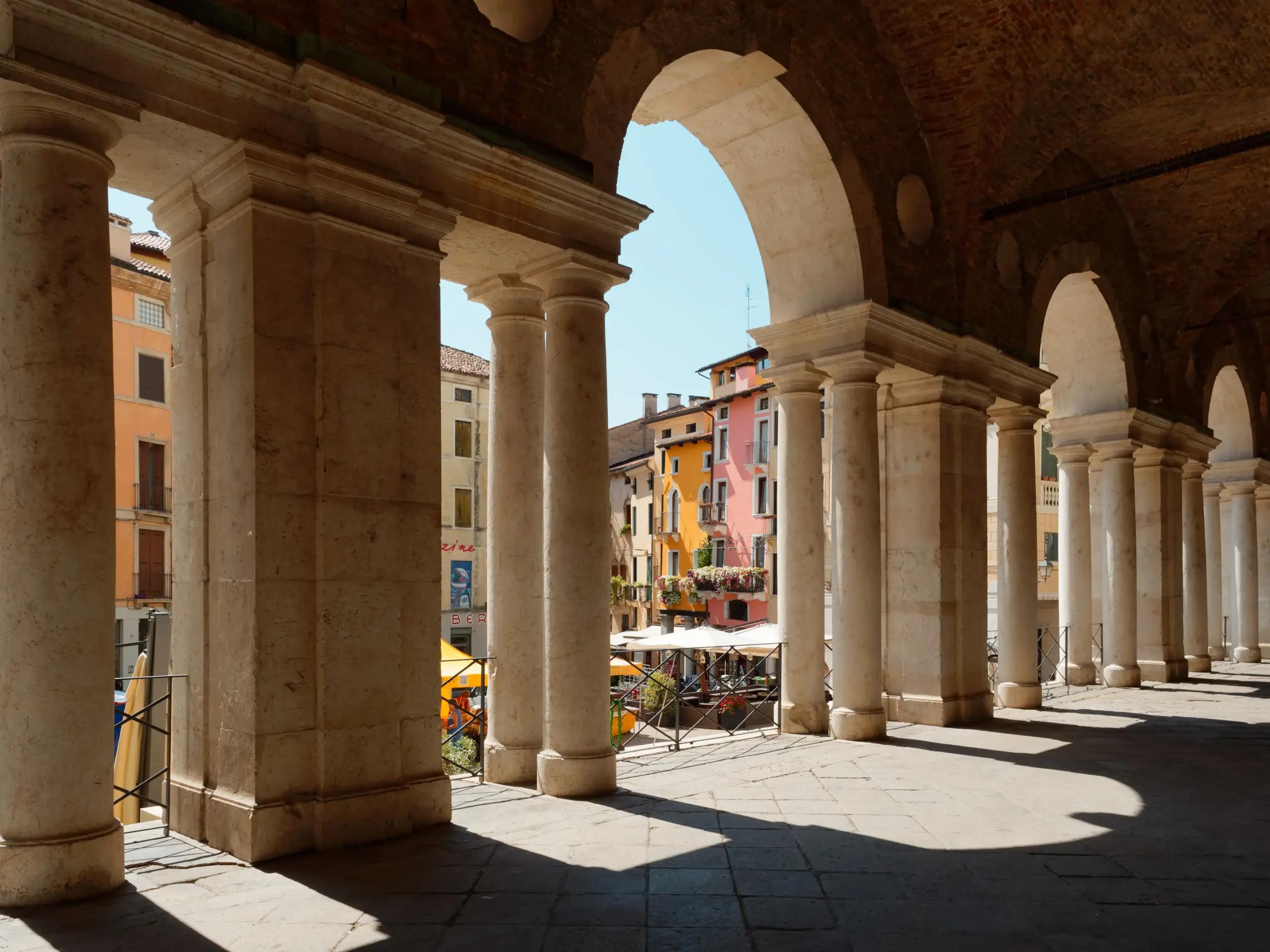
Culturally, the Alta Via reveals archaeological sites, hermitages, small churches and rural villages where time seems to stand still. The itinerary is also connected to major walking routes such as Via Postumia, Romea Strata, the Adelaide Trail and the Fogazzaro-Roi Trail.
The experience is supported by a website containing complete signage, interactive maps and GPS tracks for safe navigation. The route has no major technical difficulties and can be enjoyed almost all year round, enhancing a local heritage made of nature and ancient traditions.